|
           |
  |
 3D airspace models on photorealistic terrain
High-resolution posters of images like this are available: 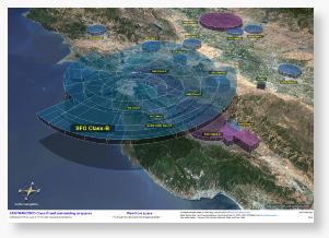
It's a great teaching aid / learning tool for flight schools and student pilots! Even seasoned pilots can get a new perspective on their airspaces. Glossy (19"x13" / 48cm x 33cm): $11.99+shipping Laminated (16"x11.5" / 40.5cm x 29.5cm): $14.99+shippingTo order, send a check or money order to: Gabor Nagy 1521 Lago St. #11 San Mateo, CA 94403 USA Shipping is $5 within California and $7 for the rest of the continental U.S. Please indicate whether you'd like a glossy or a laminated poster. The poster is also being sold at the San Carlos (CA) airport pilot shop. Larger sizes, other views, other airspaces and fly-through animation videos are available on request at: gabor4@equinox3d.com All 3D modeling and rendering was done with EQUINOX-3D. How the poster was made
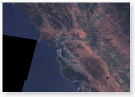
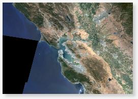
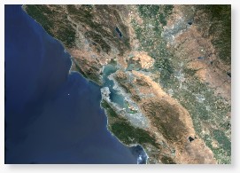
I wrote a plugin for EQUINOX-3D that can read digital elevation maps (DEMs, e.g. the USGS GTOPO-30 data set) and map satellite images on them.
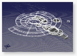
A 3D model with elevations (relief map) and textures (you need EQUINOX-3D to view it) None of the above should be used for navigation! Also, check out these excellent real, physical models of airspaces! For other pilot products, take a look at: AAA Pilot Supplies My personalized checklists in an OpenOffice 1.1 / PDF:
Disclaimer: Use the above checklists or their further customized versions at your own risk! |